Met Office maps show when it is next going to snow in Greater Manchester this week
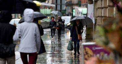
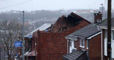
Snow has fallen across Greater Manchester this morning - and more is on the way this week. Residents across our region woke up to a blanket of snowfall overnight amid freezing temperatures that saw the mercury drop to as low as -5C in some places.
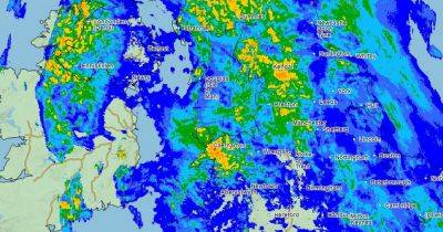
The snow has led to a number of Met Office snow and ice weather warnings being issued for this week. One is in place covering Greater Manchester and much of the North, plus all of Scotland, all day on Tuesday, where the forecaster said: "Further snow showers, perhaps merging into a longer spell of snow, are likely to cause further disruption."
On Tuesday morning, the snow caused a number of travel issues in Greater Manchester. There is reduced service on a Metrolink line due to a 'cracked rail' with some roads also left 'impassable' due to snowfall. Follow our live blog on travel and weather updates throughout the day here.
Join our WhatsApp Top Stories and Breaking News group by clicking this link.
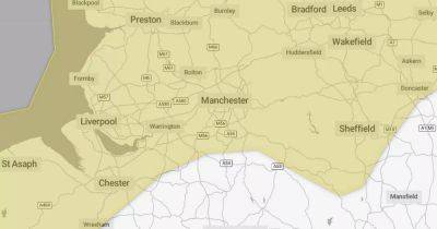
On Tuesday, Met Office maps show snow continuing in the region until 10.30am, before it moves north with heavier snowfall expected in Cumbria and northern Lancashire.
While the rest of Greater Manchester is not forecast to see any further snowfall until Tuesday night, some more of the white stuff is expected to return in the Bolton and Rochdale areas at around 11.15am, with snowfall persisting in the latter borough until 2.30pm. Some heavier snow is also expected to return in areas of Tameside and Rochdale at around 11pm, with temperatures forecast to be around 2C.
A further snow and ice weather warning is in place across Greater Manchester on Wednesday, from midnight until 12pm. Temperatures in Manchester will dip to -5C in the evening with highs of just 1C. However, no snow
Related News