Met Office weather maps show the time snow is expected to hit Greater Manchester
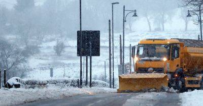
The Met Office has issued yellow weather warnings for snow and ice this weekend affecting large parts of the country, including Greater Manchester.
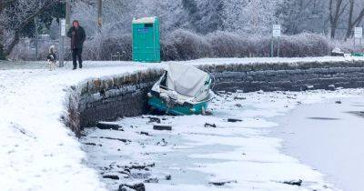
It comes after the region experienced torrential rain which resulted in devastating flooding as a major incident was declared.
A yellow weather warning for snow and ice, which covers most of England, comes into effect at 12 pm on Saturday, January 4, and remains in place until 11:59pm on Sunday, January 5. The warning reads: "Heavy snow, and some freezing rain in places, may cause some disruption over the weekend."
Large parts of the country will be affected by the snowfall including Greater Manchester, London, Wales, Midlands, Newcastle and more.
From midnight on Sunday, a second warning for snow comes into effect in Scotland which will remain in place until 12pm Monday morning (January 6). This warning states: "Heavy snow on Sunday and overnight into Monday may cause some disruption."
According to the latest Met Office weather maps, higher areas of Rochdale could see snow at around 2am on Saturday morning.
However, from midnight on Saturday heavy snow is forecast to move in and fall across the whole region. The current maps show heavy snow fall over Greater Manchester until around 9am before rain moves in.
There could then be some further snow showers in the early hours of Monday morning.
Met Office meteorologist Tom Morgan said: “At the moment we’ve issued a very large snow warning for Saturday until Monday but it doesn’t mean that everywhere within that warning could see snow, it’s just a heads-up there could be some impacts.”
On top of the weather warnings, an amber cold health alert has also been issued by the UK Health Security Agency (UKHSA), which remains in place
Related News