Met Office warns 'be prepared' as weather takes dramatic turn over next 24 hours
The Met Office has warned Brits to 'be prepared' as the weather is set to take a dramatic turn this week.
After enjoying the sunshine and pleasant temperatures during the warmest spell of the year, many parts of the UK can soon expect heavy rain and thunderstorms to hit, bringing an end to the current heatwave. Thunder and lightning is forecast from this afternoon into Thursday.
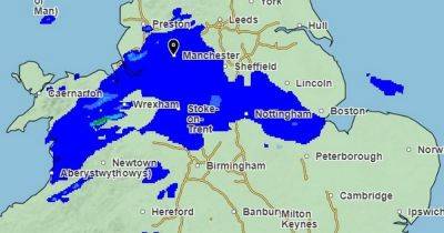
Two yellow weather warnings for thunderstorms have been issued. The first is in force now and covers London and the south east coast, while the second covers the majority of England and Wales and comes into force from 1am on Thursday.
READ MORE: Greater Manchester set for another warm day before Met Office thunderstorm warning in place
READ MORE: Cheapest supermarket for summer essentials named - and it's not Asda
The Met Office's chief forecaster Neil Armstrong said: "The focus for Wednesday’s thunderstorm yellow warning extends across a swathe of southeastern England from Hampshire to Essex, including London and parts of the Home Counties. While many areas will stay dry, a few places could see thunderstorms later today with frequent lightning and heavy downpours possible."
On Thursday, the Met Office’s yellow thunderstorm warning covers most of England and Wales except the far southwest and northwest. Dan Holley, Met Office deputy chief forecaster, said: "The Met Office has issued a thunderstorm warning over a broad geographical area but not all locations will see impacts. The most intense impacts are likely to be focussed on central, southern and southeast areas of England."
He said some areas could see "torrential downpours, large hail and frequent lightning", with around 50 to 100mm of rainfall expected in just a few hours. The Met
Related News