Hour-by-hour weather forecast for Greater Manchester as heavy snow hits the region
Greater Manchester woke up to a blanket of heavy snow this morning as the cold start to the new year continued.
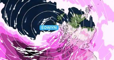
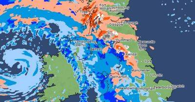
Two Met Office amber weather warnings are in place throughout Sunday morning, with sleet, snow and heavy rain expected to continue falling across much of Greater Manchester. Around 5cm of snow has fallen in parts, but the Met Office warns up to 40cm of snow could fall across higher ground.
Manchester Airport closed its runways on Sunday morning due to heavy snow and said its teams were working to clear them 'as quickly as possible'. Metrolink has warned that snow and ice may lead to speed restrictions and line closures and both Woodhead Pass and Snake Pass are shut due to the heavy snow, with two lanes on the M61 shut in both directions between junction 5 and 6.
An amber snow and ice warning has been in force from 6pm yesterday until noon today (January 5). It affects the southern parts of Greater Manchester, alongside large swathes of Wales, the East Midlands, Cheshire and Merseyside and the South West.
A second amber warning for snow is also in place from 9pm yesterday until 11.59pm on Sunday. It covers northern stretches of Greater Manchester and much of northern England. A less-severe yellow weather warning for snow and ice is also in place covering much of England and Wales, running until 11.59pm on Sunday.
Here's the hour-by-hour forecast for Greater Manchester the rest of Sunday morning...
Bolton
8am: Heavy snow, 0C, but feels like -6C.
9am: Sleet, 0C, but feels like -6C.
10am: Light rain, 0C but feels like-5C.
11am: Light rain, 1C but feels like-5C.
Noon: Light rain, 1C but feels like-4C.
Bury
8am: Heavy snow, 0C, but feels like -6C.
9am: Sleet, 0C, but feels like -5C.
10am: Light rain, 0C but
Related News