Greater Manchester forecast as Met Office warn 'weather bomb' and 'strongest winds' to hit UK
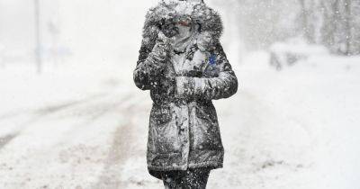
Greater Manchester is set to see strong gales and heavy rain towards the end of the week as the Met Office warn the UK to brace for a 'winter weather bomb'.
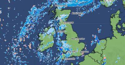
An area of low pressure currently over the United States is set to deepen as it crosses the Atlantic, bringing unsettled and potentially disruptive weather conditions to the UK.
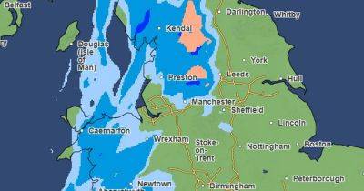
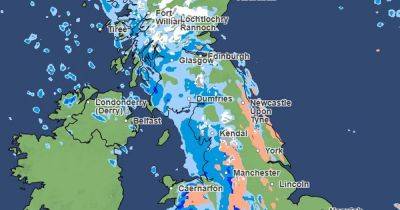
A yellow severe weather warning is in place for parts of Northern Ireland and Scotland, with gusts of up to 80mph expected. Heavy rain and strong winds are forecast in the rest of the country as the low pressure moves towards the north east.
Met Office Deputy Chief Meteorologist, Chris Almond, said: “A very deep area of low pressure will bring a very unsettled, potentially disruptive, spell of weather to the UK through Friday and into Saturday.
"Winds will begin to strengthen on Thursday night with the peak gusts forecast through Friday in Northern Ireland and western Scotland. The wind will also be accompanied by heavy rain bringing some unpleasant conditions to end the week."
In Greater Manchester we can expect a windy and wet end to the week, with gusts reaching around 50mph on Friday. You can read the full forecast below.
Tuesday morning will start overcast, and we can expect some light rain by late morning, according to the Met Office. We'll see light winds, but it will feel cool, with any brighter breaks short-lived. Maximum temperature 6C.
Overnight it will turn chillier with scattered showers and a minimum temperature of 0C.
Wednesday is set to be a cloudy morning with scattered showers clearing eastwards. The Met Office predict some brighter breaks developing into the afternoon, though they say the odd spot of rain is still possible at times. Maximum temperature 5C.
From Thursday,
Related News