New snow alert for Greater Manchester as 29-hour weather warning issued
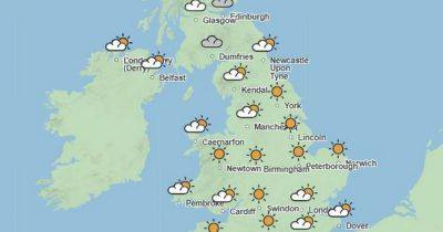
A new weather warning has been issued for parts of Greater Manchester, with the current cold snap to last until this weekend.
The Met Office yellow alert for ice comes into force at 4pm today (November 20) and will remain in place until 10am tomorrow (November 21). It warns of potentially "difficult travelling conditions" including icy patches on roads and pavements with temperatures having plummeted and already seen snow fall this week across the region.
The national forecaster has now issued a further warning for this weekend for both snow and rain. It says that there will be "heavy snow on Saturday, followed by a rapid thaw and subsequent rain on Saturday night, may cause some disruption."
READ MORE: Met Office issues 18 hour weather warning for ice- full list of areas
"Outbreaks of rain will spread northeastwards on Saturday, preceded by a spell of snow across parts of northern England and Scotland" the warning says.
"Whilst snow will become increasingly confined to higher elevations with time, there is the chance of a transient period of snow to low levels in some areas, with perhaps as much as 5-10 cm accumulating in places, especially the Vale of York, before turning back to rain" it continues.
"Temporary snow accumulations of 10-20 cm are possible on ground above 150m, with perhaps as much as 20-40 cm above 300m. In conjunction with strengthening winds, difficult driving conditions are likely, especially over higher level routes, with possibly some interruptions to power supplies."
Temperatures are expected to begin to rise again on Saturday night though this "rapid thaw" combined with rain means there is, according to the Met Office, a "small chance" of some flooding.
"In addition, the rapid thaw of lying