Will it snow again today? Greater Manchester weather forecast for Saturday
A weather warning for ice remains in place across Greater Manchester as more cold weather is predicted to be heading our way.
The yellow warning, which means likely icy patches on some untreated roads, pavements and cycle paths could cause injury, is set to end at 10am on Saturday (March 11).
Storm Larisa brought wintry scenes to the region throughout the week and the cold snap caused chaos in some areas – with drivers on the M62 being left stranded for more than seven hours near Rochdale on Thursday night.
And while it remains cold today, the snowfall that hit many parts of the UK is expected to ease today and over the weekend.
READ MORE: The Manchester overspill estate where trains won't go and the 'miracle' hidden inside it
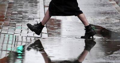
Across Greater Manchester, today will see a sunny start with the odd patch of cloud around, reaching highs of 3C throughout the day. There could be a chance of sleet at around with clouding causing outbreaks of rain at around 1pm.
This evening and the first part of the night will see increased winds and further outbreaks of rain and hill snow, with temperatures falling to -1C.
The low pressure system named Storm Larisa by Météo-France has moved across a swathe of England this week, bringing significant snowfall to many parts.
It's now gradually pulling away into northern Europe, encouraging a feed of colder air and clearer conditions across many areas of the UK by late tonight.
However, these clear skies are to bring further wintry hazards with widespread frost and ice occurring and sub-zero temperatures for many, the forecaster warned.
Met Office Chief Forecasters subsequently anticipated making changes to the pattern of National Severe Weather Warnings over the coming days.
Chief
Related News