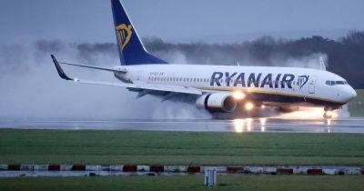
Storm Darragh weather maps show where and when gale force winds will hit Greater Manchester
Most of the UK is set to be battered by Storm Darragh this weekend and Greater Manchester is no exception.
The Met Office has issued amber alerts for rain and a rare red warning for wind with the storm expected to cause significant damage as it hits south west England and Wales in the early hours of Saturday morning.
Gusts of up to 90mph there are expected to cause danger to life due to ‘flying debris and falling trees’. In Greater Manchester, a yellow wind warning is currently in place and is to remain in force until 6am on Sunday.
READ MORE: Met Office warns people to 'prepare' as Storm Darragh to impact 'whole of the country'
Here, wind speeds could exceed 60mph at the height of the storm. The Beuafort wind force scale classes winds of more than 47mph a as a strong gale and above 55mph as a storm. The weather agency says there is a 'slight chance' of damage to buildings, road closures and power cuts.
"There is a small chance of injuries and danger to life from flying debris," they say. They added: "There is likely to be longer journey times or cancellations as road, rail, air and ferry services are affected."
The Met Office's weather map continuously shows the anticipated maximum speed of wind gusts (in mph) each hour across the country this weekend. It highlights the parts of our region likely to see the strongest gusts.
After exceeding 30mph in this afternoon, the wind is forecasted to begin touching 50mph in places into the evening. Potentially 47mph gusts are forecast for across Greater Manchester.
In Manchester city centre, the winds will reach remain at a breezy 30mph, and 29mph in Rochdale and other areas to the north east. But the areas on the western side of the region could see winds of over 50mph,


